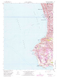
1963 Map of Redondo Beach
USGS Topo · Published 1982About this map
The coastal curve of Santa Monica Bay defines this 1963 survey, capturing the dense residential expansion and established leisure infrastructure of the South Bay during the early 1960s. Redondo Beach and Hermosa Beach are shown as fully developed urban centers, with King Harbor providing a focal point for maritime activity. The southern half of the sheet reveals the dramatic topography of the Palos Verdes peninsula, where winding roads like Palos Verdes Drive West navigate around Agua Amarga Canyon and toward the notable Marineland complex at Long Point.
Find a feature on this map
52 named features on this map. Tap any name to fly to it.
Don’t see what you’re looking for? This feature index may not catch every label — zoom into the map to look around manually.
Map Details
Editions of this 1963 Redondo Beach Map
4 editions found
Other maps of this area

1896 · Redondo
USGS Topo · 1:62,500

1896 · San Pedro
USGS Topo · 1:62,500

1901 · Southern California Sheet No. 1
USGS Topo · 1:250,000

1904 · Southern California Sheet No. 1
USGS Topo · 1:250,000

1924 · Torrance
USGS Topo · 1:24,000
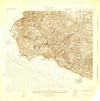
1925 · San Pedro Hills
USGS Topo · 1:24,000
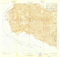
1928 · San Pedro Hills
USGS Topo · 1:24,000
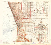
1934 · Torrance
USGS Topo · 1:24,000
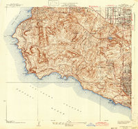
1942 · San Pedro Hill
USGS Topo · 1:24,000

1943 · San Pedro
USGS Topo · 1:125,000