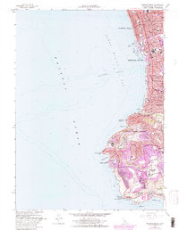
1963 Map of Redondo Beach
USGS Topo · Published 1982About this map
Redondo Beach and the neighboring shoreline of Hermosa Beach define the northern reach of this coastal study, where dense residential blocks meet the shifting tides of Santa Monica Bay. The map captures a period of significant coastal infrastructure, notably the development around King Harbor with its submarine pipelines and intake towers. Moving south, the landscape shifts dramatically into the elevated terrain of Palos Verdes Estates. This area is characterized by winding roads like Palos Verdes Dr W and sprawling institutions such as Marymount College and the unique glass architecture of Wayfarers Chapel near Abalone Cove. The southern tip of the peninsula features major recreational and research landmarks, including the site of Marineland and the U S Coast Guard Reservation at Point Vicente. From the oil wells near Torrance to the deep contours of Redondo Canyon, the map provides a clear record of the intersection between urban expansion and the geological complexity of the California coast.
Find a feature on this map
62 named features on this map. Tap any name to fly to it.
Don’t see what you’re looking for? This feature index may not catch every label — zoom into the map to look around manually.
Map Details
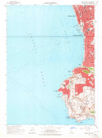
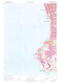
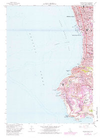
Editions of this 1963 Redondo Beach Map
4 editions found
Other maps of this area

1896 · Redondo
USGS Topo · 1:62,500

1896 · San Pedro
USGS Topo · 1:62,500

1901 · Southern California Sheet No. 1
USGS Topo · 1:250,000

1904 · Southern California Sheet No. 1
USGS Topo · 1:250,000

1924 · Torrance
USGS Topo · 1:24,000
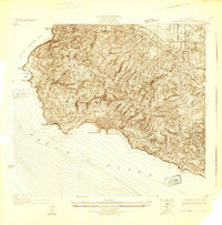
1925 · San Pedro Hills
USGS Topo · 1:24,000
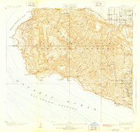
1928 · San Pedro Hills
USGS Topo · 1:24,000
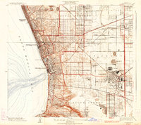
1934 · Torrance
USGS Topo · 1:24,000
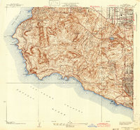
1942 · San Pedro Hill
USGS Topo · 1:24,000

1943 · San Pedro
USGS Topo · 1:125,000