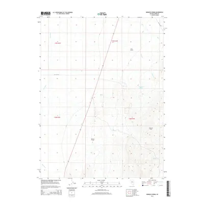
2014 Map of Redrock Spring
USGS Topo · Published 2014About this map
Redrock Spring and the Shoshone Range define the high-desert landscape of central Nevada in this 2014 survey. The map details a region where water sources are the primary landmarks, including Mound Springs and the precisely named Harry Canyon Spring Number One. These intermittent and perennial water points were critical for early ranching and mining operations in Lander County. The western portion of the quadrangle is dominated by the broad valley of the Reese River, while the eastern terrain rises into the canyons of the Shoshone Range. Transportation through this arid environment is facilitated by secondary routes such as McCoy Mine Rd and Mill Creek Rd, which provide access to the remote Redrock Canyon and Harry Canyon.
Find a feature on this map
15 named features on this map. Tap any name to fly to it.
Don’t see what you’re looking for? This feature index may not catch every label — zoom into the map to look around manually.
Map Details
Editions of this 2014 Redrock Spring Map
This is the sole edition of this map. No revisions or reprints were ever made.
Other maps of this area

1932 · Sonoma Range
USGS Topo · 1:250,000

1939 · Sonoma Range
USGS Topo · 1:250,000

1949 · Mt. Lewis
USGS Topo · 1:62,500

1950 · Mt. Lewis
USGS Topo · 1:62,500

1955 · Winnemucca
USGS Topo · 1:250,000

1958 · Winnemucca
USGS Topo · 1:250,000

1961 · McCoy
USGS Topo · 1:62,500

1961 · The Cedars
USGS Topo · 1:62,500

1962 · Winnemucca
USGS Topo · 1:250,000

1962 · Carico Lake
USGS Topo · 1:62,500