Loading...
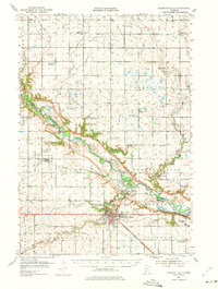
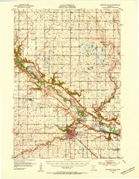
Loading map...1952 Map of Redwood Falls
USGS Topo · Published 1975About this map
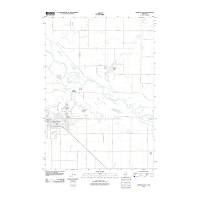
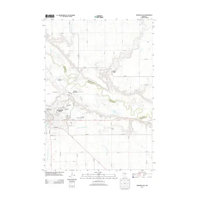
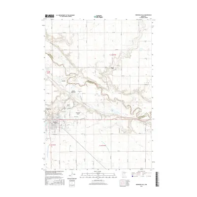
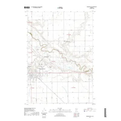
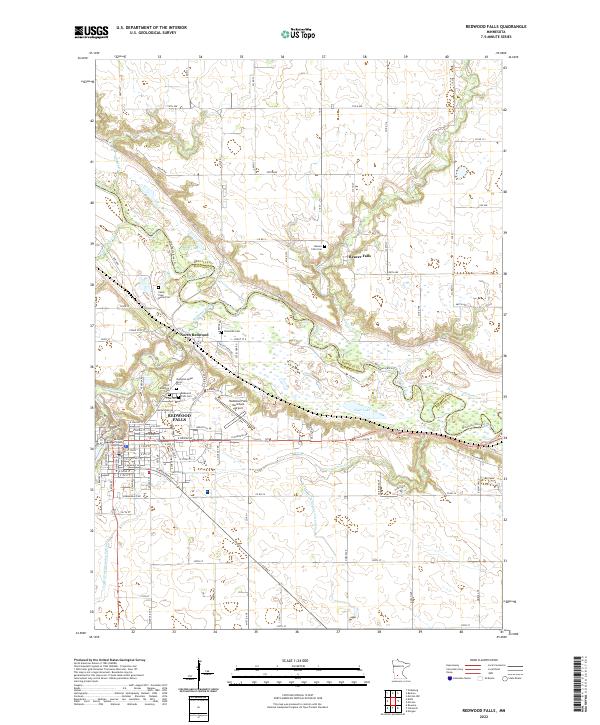
Redwood Falls sits at the confluence of the Minnesota River and the Redwood River, serving as a central hub for this agricultural landscape during the early 1950s. The map illustrates a meticulously organized rural layout, where township boundaries like Emmet, Troy, and Flora enclose a network of numerous country schoolhouses, such as School No 70 and School No 104. The Chicago and North Western railroad provides a vital transportation link, passing through North Redwood and near the extensive grounds of Alexander Ramsey State Park.
Find a feature on this map
61 named features on this map. Tap any name to fly to it.
Don’t see what you’re looking for? This feature index may not catch every label — zoom into the map to look around manually.
Map Details
Date Portrayed1952
Date Published1975
PublisherU.S. Geological Survey
Map TypeTopographic
Scale1:62,500
Physical Dimensions16 x 21.2 inches
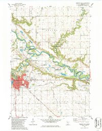
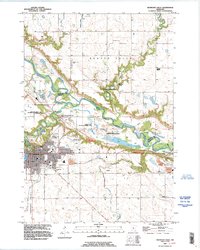
Editions of this 1952 Redwood Falls Map
2 editions found
Historical Maps of Redwood Falls Through Time
8 maps found
Featured Locations
Source Details
SourceU.S. Geological Survey
CopyrightPublic Domain