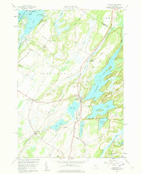
1958 Map of Redwood
USGS Topo · Published 1960About this map
The St Lawrence River frontage and the glacial lake district of Jefferson County define this mid-century survey. The landscape is dominated by large inland water bodies like Butterfield Lake, Millsite Lake, and Clear Lake, which are interspersed with rocky rises like Bean Hill. Human settlement is centered on the village of Redwood and the smaller hamlet of Plessis, both of which are connected by the New York Central railroad corridor.
Find a feature on this map
60 named features on this map. Tap any name to fly to it.
Don’t see what you’re looking for? This feature index may not catch every label — zoom into the map to look around manually.
Map Details
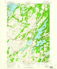
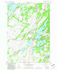
Editions of this 1958 Redwood Map
3 editions found
Other maps of this area

1903 · Alexandria Bay
USGS Topo · 1:62,500

1903 · Theresa
USGS Topo · 1:62,500

1911 · Antwerp
USGS Topo · 1:62,500

1912 · Hammond
USGS Topo · 1:62,500

1943 · Redwood
USGS Topo · 1:31,680

1943 · Lafargeville
USGS Topo · 1:31,680

1943 · Alexandria Bay
USGS Topo · 1:31,680

1944 · Hammond
USGS Topo · 1:62,500

1948 · Theresa
USGS Topo · 1:24,000

1948 · Chippewa Bay
USGS Topo · 1:24,000