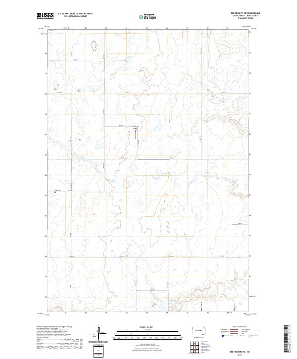
2021 Map of Ree Heights NE
USGS Topo · Published 2021About this map
Lost Cr meanders across this rural expanse of Hand County, defining the drainage patterns of a landscape segmented by a precise grid of sectional roads. The topography is characterized by subtle elevation changes and numerous small depressions typical of the Missouri Coteau region. In the southwestern portion of the quadrangle, Alden Cem sits along 187th St, serving as a primary point of interest for genealogists and local historians tracking early families of the area. Aviation history is represented by the centrally located Lost Creek Airport near 185th St. Transportation is facilitated by a network of county routes, including Co Rd 4 and Co Rd 17, which connect the scattered agricultural holdings. The map also captures the headwaters of Wolf Cr in the southern sections, marking the subtle divide between local creek systems.
Find a feature on this map
25 named features on this map. Tap any name to fly to it.
Don’t see what you’re looking for? This feature index may not catch every label — zoom into the map to look around manually.
Map Details
Editions of this 2021 Ree Heights NE Map
This is the sole edition of this map. No revisions or reprints were ever made.
Other maps of this area

1899 · Redfield
USGS Topo · 1:125,000

1949 · Ree Heights NW
USGS Topo · 1:24,000

1950 · Ree Heights SE
USGS Topo · 1:24,000

1950 · Ree Heights
USGS Topo · 1:24,000

1951 · Ree Heights NW
USGS Topo · 1:24,000

1951 · Orient SW
USGS Topo · 1:24,000

1951 · Polo
USGS Topo · 1:24,000

1951 · Ree Heights NE
USGS Topo · 1:24,000

1953 · Huron
USGS Topo · 1:250,000

1954 · Huron
USGS Topo · 1:250,000