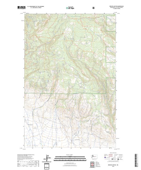
2023 Map of Reecer Canyon
USGS Topo · Published 2023About this map
Wenatchee National Forest dominates the northern reaches of this map, where the high plateau of Table Mtn overlooks a network of deep drainages. The landscape is defined by its verticality, with numerous named canyons such as Johnson Canyon, Reecer Canyon, and Currier Canyon cutting southward through the basalt layers of the Kittitas region. Access to these higher elevations is provided by a series of primitive routes and trails, including the Nealey Creek Trl and Naneum Wilson Trl, which navigate the steep terrain between Nealey Creek and the southern foothills.
Find a feature on this map
44 named features on this map. Tap any name to fly to it.
Don’t see what you’re looking for? This feature index may not catch every label — zoom into the map to look around manually.
Map Details
Editions of this 2023 Reecer Canyon Map
This is the sole edition of this map. No revisions or reprints were ever made.
Other maps of this area

1897 · Mount Stuart
USGS Topo · 1:125,000

1902 · Mount Stuart
USGS Topo · 1:125,000

1913 · Wenatchee
USGS Topo · 1:62,500

1915 · Wenatchee
USGS Topo · 1:62,500

1920 · Colockum Pass
USGS Topo · 1:125,000

1922 · Colockum Pass
USGS Topo · 1:125,000

1957 · Wenatchee
USGS Topo · 1:250,000

1958 · Thorp
USGS Topo · 1:24,000

1958 · Thorp
USGS Topo · 1:62,500
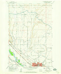
1958 · Ellensburg North
USGS Topo · 1:24,000