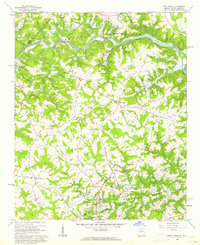
1960 Map of Reed Creek
USGS Topo · Published 1963About this map
Hartwell Reservoir is the defining geographical shift on this map, showing the massive impact of the Savannah River Basin project along the border of Georgia and South Carolina. Blue hatching across the Tugaloo River and Reed Creek basins indicates areas of planned inundation at the 630-foot and 665-foot elevations, marking a landscape in the process of becoming the lake bed. This transformation is shown just as the U.S. Corps of Engineers reservation boundary was being established, overlaying a rural network of family farms and local churches.
Find a feature on this map
31 named features on this map. Tap any name to fly to it.
Don’t see what you’re looking for? This feature index may not catch every label — zoom into the map to look around manually.
Map Details
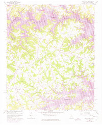
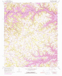
Editions of this 1960 Reed Creek Map
Other maps of this area

1886 · Walhalla
USGS Topo · 1:125,000

1888 · Pickens
USGS Topo · 1:125,000

1891 · Carnesville
USGS Topo · 1:125,000

1892 · Walhalla
USGS Topo · 1:125,000

1893 · Elberton
USGS Topo · 1:125,000

1894 · Pickens
USGS Topo · 1:125,000

1896 · Walhalla
USGS Topo · 1:125,000

1950 · La France
USGS Topo · 1:24,000

1951 · La France
USGS Topo · 1:24,000

1954 · Greenville
USGS Topo · 1:250,000