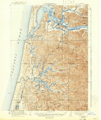
1923 Map of Reedsport
USGS Topo · Published 1942About this map
The Umpqua River and its complex network of sloughs and islands dominate this coastal landscape as it appeared in the early 1920s. Centered on Reedsport, the map illustrates a vital timber and maritime corridor where the Southern Pacific railroad meets the water at Gardiner Sta and Scholfield Sta. This era captures the industrial footprint of the coast, including a Cannery on Leed Island and the maritime safety infrastructure of the Coast Guard Station and the Umpqua River L H.
Find a feature on this map
57 named features on this map. Tap any name to fly to it.
Don’t see what you’re looking for? This feature index may not catch every label — zoom into the map to look around manually.
Map Details
Editions of this 1923 Reedsport Map
4 editions found
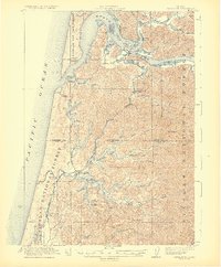
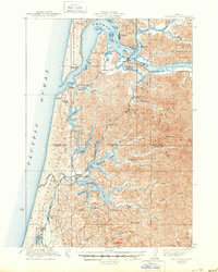
Other maps of this area

1896 · Coos Bay
USGS Topo · 1:125,000

1898 · Coos Bay
USGS Topo · 1:125,000

1900 · Coos Bay
USGS Topo · 1:125,000

1919 · Earl
USGS Topo · 1:48,000

1920 · Siltcoos Lake
USGS Topo · 1:62,500

1923 · Reedsport
USGS Topo · 1:62,500

1928 · Sitkum
USGS Topo · 1:125,000

1941 · Siltcoos Lake
USGS Topo · 1:62,500

1942 · Siltcoos Lake
USGS Topo · 1:62,500

1942 · Reedsport
USGS Topo · 1:62,500