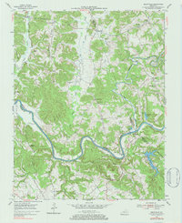
1954 Map of Reedyville
USGS Topo · Published 1984About this map
Green River meanders deeply through the tri-county junction of Butler, Edmonson, and Warren counties, defining the region's early transportation and industrial patterns. The waterway is anchored by Lock No 5 near Glenmore and the Honakers Ferry crossing to the west, highlighting a period when river navigation was vital for commerce. The interior is a landscape of ridges like Jolertown Ridge and Region Ridge, separated by a dense network of drainages including Big Reedy Creek and Bear Creek.
Find a feature on this map
49 named features on this map. Tap any name to fly to it.
Don’t see what you’re looking for? This feature index may not catch every label — zoom into the map to look around manually.
Map Details
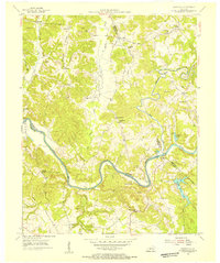
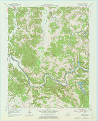
Editions of this 1954 Reedyville Map
3 editions found
Other maps of this area

1914 · Little Muddy
USGS Topo · 1:62,500

1922 · Leitchfield
USGS Topo · 1:48,000

1922 · Brownsville
USGS Topo · 1:62,500

1923 · Brownsville
USGS Topo · 1:62,500

1925 · Spring Lick
USGS Topo · 1:62,500

1925 · Leitchfield
USGS Topo · 1:62,500

1953 · Ready
USGS Topo · 1:24,000

1953 · Bee Spring
USGS Topo · 1:24,000

1954 · Evansville
USGS Topo · 1:250,000

1954 · Bowling Green North
USGS Topo · 1:24,000