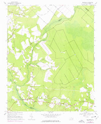
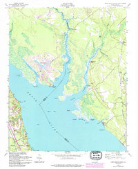
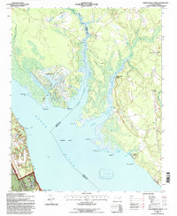
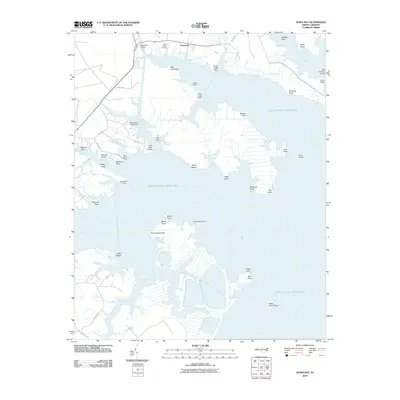
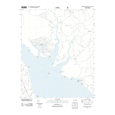
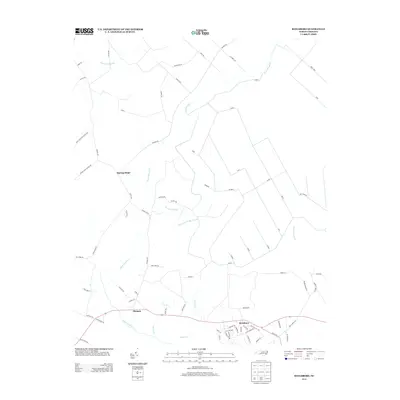
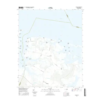
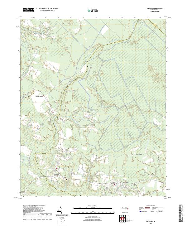
1969 Map of Reelsboro
USGS Topo · Published 1977About this map
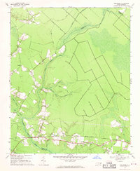
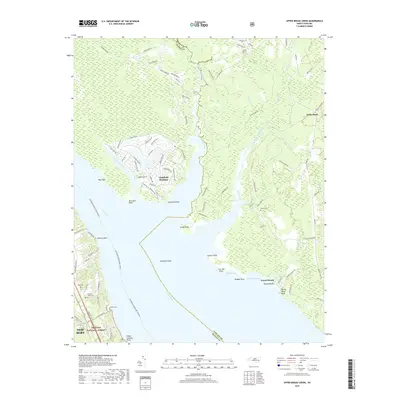
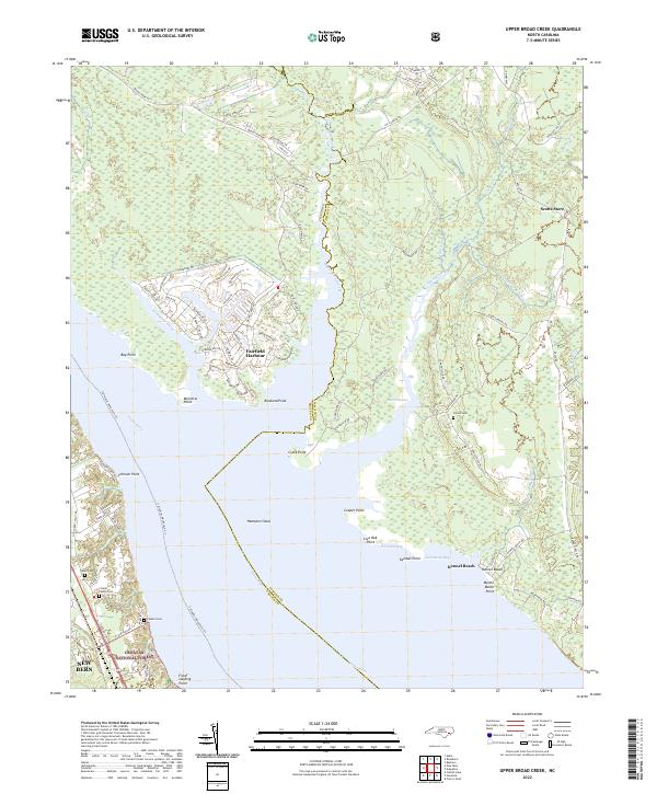
Upper Broad Creek winds through a dense network of coastal wetlands, defining the boundary between Craven and Pamlico Counties during the late 1960s. The settlement at Reelsboro serves as a local hub along the Norfolk Southern line, surrounded by rural communities like Olympia and New Hope. The landscape is characterized by a complex system of named swamps, including Possum Swamp, Mill Swamp, and Pine Tree Swamp, which dictated the layout of early timber trails and transport routes like the Stair Ridge Road. Genealogists will find significant value in the distribution of family and community landmarks, such as Sand Hill Cem and Spring Hope Ch, which remain anchored to the higher ground of the coastal plain. The presence of Blades Trail and the industrial infrastructure of the railroad reflect a region defined by its timber resources and rail-to-river connectivity.
Find a feature on this map
34 named features on this map. Tap any name to fly to it.
Don’t see what you’re looking for? This feature index may not catch every label — zoom into the map to look around manually.
Map Details
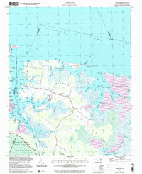
Editions of this 1969 Reelsboro Map
3 editions found
Historical Maps of Olympia Through Time
35 maps found
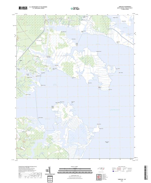
1950 Jones Bay
Pamlico County, NC
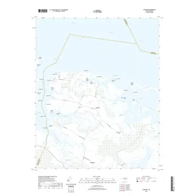
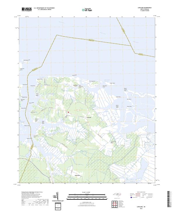
1950 Lowland
Pamlico County, NC
1950 Upper Broad Creek
Pamlico County, NC
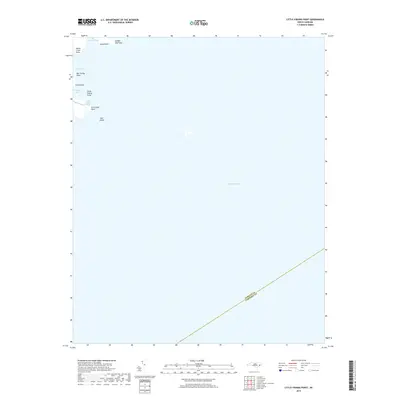
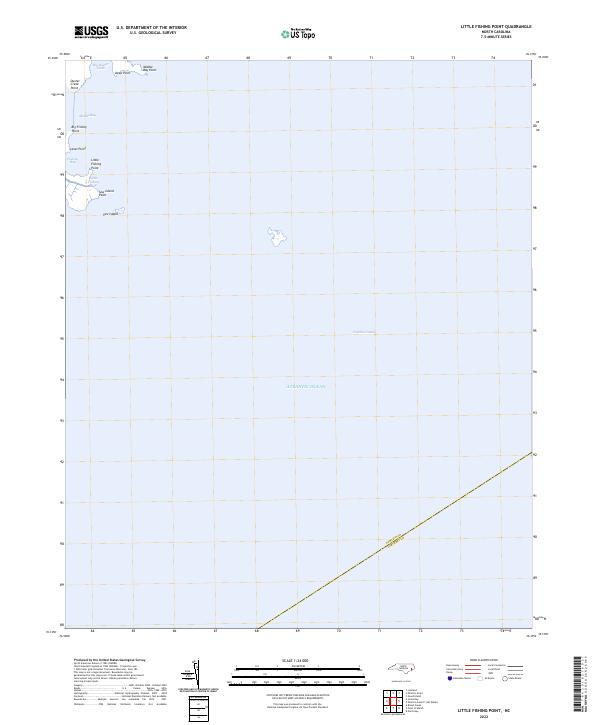
1951 Little Fishing Point
Pamlico County, NC
1951 Upper Broad Creek
Pamlico County, NC
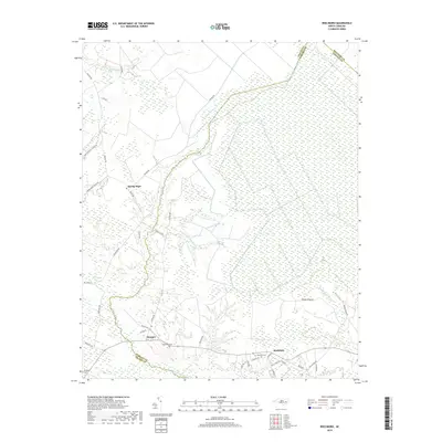
1969 Reelsboro
Pamlico County, NC
1994 Upper Broad Creek
Pamlico County, NC
2000 Little Fishing Point
Pamlico County, NC
2000 Lowland
Pamlico County, NC
2000 Reelsboro
Pamlico County, NC
2010 Jones Bay
Pamlico County, NC
2010 Little Fishing Point
Pamlico County, NC
2010 Lowland
Pamlico County, NC
2010 Reelsboro
Pamlico County, NC
2011 Upper Broad Creek
Pamlico County, NC
2013 Jones Bay
Pamlico County, NC
2013 Little Fishing Point
Pamlico County, NC
2013 Lowland
Pamlico County, NC
2013 Reelsboro
Pamlico County, NC
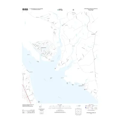
2013 Upper Broad Creek
Pamlico County, NC
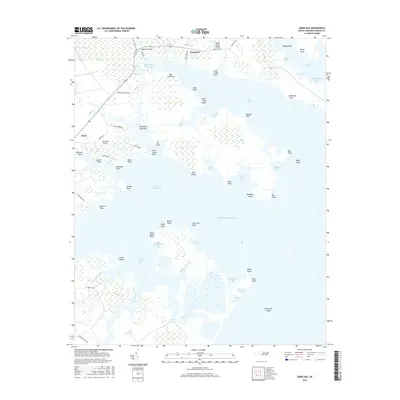
2016 Jones Bay
Pamlico County, NC
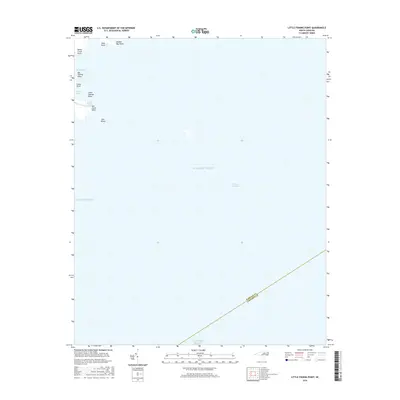
2016 Little Fishing Point
Pamlico County, NC
2016 Lowland
Pamlico County, NC
2016 Reelsboro
Pamlico County, NC
2016 Upper Broad Creek
Pamlico County, NC
2019 Jones Bay
Pamlico County, NC
2019 Little Fishing Point
Pamlico County, NC
2019 Lowland
Pamlico County, NC
2019 Reelsboro
Pamlico County, NC
2019 Upper Broad Creek
Pamlico County, NC
2022 Jones Bay
Pamlico County, NC
2022 Little Fishing Point
Pamlico County, NC
2022 Lowland
Pamlico County, NC
2022 Reelsboro
Pamlico County, NC
2022 Upper Broad Creek
Pamlico County, NC