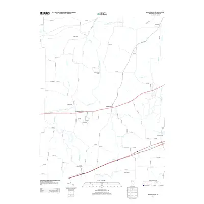
2013 Map of Reelsville
USGS Topo · Published 2013About this map
Houck Covered Bridge, Manhatten Covered Bridge, and Huffman Covered Bridge anchor this topographical study of Putnam County, Indiana, where the winding course of Big Walnut Cr and its tributaries define the rural landscape. The settlement patterns are concentrated along the historical corridor of the US-40 and I-70 highways, connecting the communities of Reelsville, Pleasant Gardens, and Manhattan.
Find a feature on this map
91 named features on this map. Tap any name to fly to it.
Don’t see what you’re looking for? This feature index may not catch every label — zoom into the map to look around manually.
Map Details
Editions of this 2013 Reelsville Map
This is the sole edition of this map. No revisions or reprints were ever made.
Other maps of this area

1908 · Clay City
USGS Topo · 1:48,000

1910 · Clay City
USGS Topo · 1:62,500

1950 · Brazil East
USGS Topo · 1:24,000

1951 · Clinton Falls
USGS Topo · 1:24,000

1951 · Mansfield
USGS Topo · 1:24,000

1952 · Reelsville
USGS Topo · 1:24,000

1953 · Indianapolis
USGS Topo · 1:250,000

1956 · Indianapolis
USGS Topo · 1:250,000

1956 · Cloverdale
USGS Topo · 1:24,000

1956 · Cataract
USGS Topo · 1:24,000