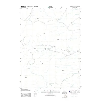
2012 Map of Reese Mountain
USGS Topo · Published 2012About this map
Restless Geyser sits at the base of Reese Mountain in this high-altitude landscape of southern Wyoming. The area is defined by a series of rugged draws and canyons, including Stovepipe Canyon and Paradise Canyon, where seasonal water courses like Lefthand Luman Cr and Rabbit Cr drain toward the north and east. Many of these drainage systems bear the names of early cattlemen and settlers, such as Mart Miller Draw and Ringrose Draw, reflecting the ranching heritage of the territory.
Find a feature on this map
45 named features on this map. Tap any name to fly to it.
Don’t see what you’re looking for? This feature index may not catch every label — zoom into the map to look around manually.
Map Details
Editions of this 2012 Reese Mountain Map
This is the sole edition of this map. No revisions or reprints were ever made.
Other maps of this area

1953 · Squaw Rock
USGS Topo · 1:24,000

1953 · Hightower SW
USGS Topo · 1:24,000

1953 · Johnson Mountain
USGS Topo · 1:24,000

1954 · Torrington
USGS Topo · 1:250,000

1954 · Cheyenne
USGS Topo · 1:250,000

1955 · Moonshine Peak
USGS Topo · 1:24,000

1955 · Bull Camp Peak
USGS Topo · 1:24,000

1958 · Cheyenne
USGS Topo · 1:250,000

1958 · Torrington
USGS Topo · 1:250,000

1968 · Davidson Flats
USGS Topo · 1:24,000