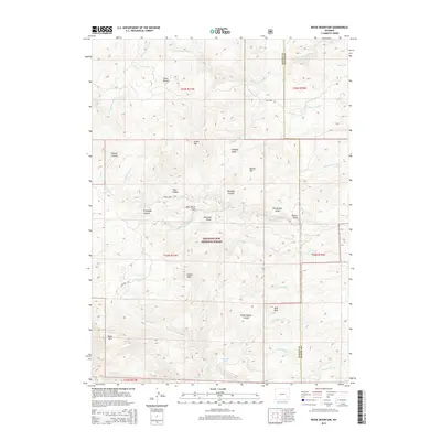
2015 Map of Reese Mountain
USGS Topo · Published 2015About this map
Medicine Bow National Forest dominates this section of the Laramie Mountains, where high-altitude drainages carve a complex network of canyons and draws. The landscape is defined by its dramatic elevation changes, rising toward summits like Collins Peak and Reese Mtn. A rare thermal feature, the Restless Geyser, is located in the western portion of the quadrangle near the headwaters of Collins Creek. The drainage patterns here are intricate, with the Dry Laramie River cutting across the northern reaches while the Laramie River proper appears in the southeast corner. Local nomenclature is deeply tied to the land's hydrology and topography, as seen in named features like Three Sisters, Bills Mtn, and the winding Luman Creek Trl. From the seclusion of Palmer Canyon to the seasonal flow of Grizzly Creek, the map provides a look at a sparsely populated wilderness managed for its natural resources and timber.
Find a feature on this map
45 named features on this map. Tap any name to fly to it.
Don’t see what you’re looking for? This feature index may not catch every label — zoom into the map to look around manually.
Map Details
Editions of this 2015 Reese Mountain Map
This is the sole edition of this map. No revisions or reprints were ever made.
Other maps of this area

1953 · Squaw Rock
USGS Topo · 1:24,000

1953 · Hightower SW
USGS Topo · 1:24,000

1953 · Johnson Mountain
USGS Topo · 1:24,000

1954 · Torrington
USGS Topo · 1:250,000

1954 · Cheyenne
USGS Topo · 1:250,000

1955 · Moonshine Peak
USGS Topo · 1:24,000

1955 · Bull Camp Peak
USGS Topo · 1:24,000

1958 · Cheyenne
USGS Topo · 1:250,000

1958 · Torrington
USGS Topo · 1:250,000

1968 · Davidson Flats
USGS Topo · 1:24,000