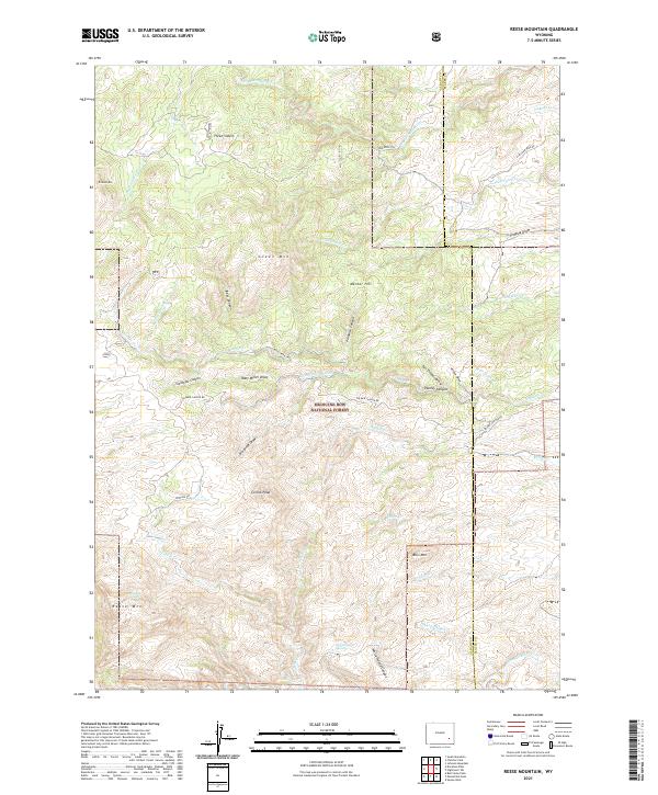
2021 Map of Reese Mountain
USGS Topo · Published 2021About this map
Medicine Bow National Forest dominates the heart of this high-elevation landscape along the boundary of Albany and Platte counties. The terrain is defined by dramatic verticality, rising from the Laramie River in the south to significant summits like Reese Mtn and Collins Peak. The area's complex drainage system includes the Dry Laramie River and numerous deeply cut features such as Palmer Canyon and White Hound Canyon, illustrating the erosive power of mountain water over time.
Find a feature on this map
49 named features on this map. Tap any name to fly to it.
Don’t see what you’re looking for? This feature index may not catch every label — zoom into the map to look around manually.
Map Details
Editions of this 2021 Reese Mountain Map
This is the sole edition of this map. No revisions or reprints were ever made.
Other maps of this area

1953 · Squaw Rock
USGS Topo · 1:24,000

1953 · Hightower SW
USGS Topo · 1:24,000

1953 · Johnson Mountain
USGS Topo · 1:24,000

1954 · Torrington
USGS Topo · 1:250,000

1954 · Cheyenne
USGS Topo · 1:250,000

1955 · Moonshine Peak
USGS Topo · 1:24,000

1955 · Bull Camp Peak
USGS Topo · 1:24,000

1958 · Cheyenne
USGS Topo · 1:250,000

1958 · Torrington
USGS Topo · 1:250,000

1968 · Davidson Flats
USGS Topo · 1:24,000