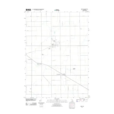
2011 Map of Reese
USGS Topo · Published 2011About this map
Denmark Township anchors this Michigan landscape, where the village of Reese serves as a primary hub. The region is characterized by a precise grid of rural roads and scattered small settlements that speak to its agricultural roots and German heritage. Community life is centered around institutions such as the Reese Post Office and several long-standing religious landmarks, including Saint Michael's German Lutheran Cemetery and Trinity Lutheran Cemetery.
Find a feature on this map
59 named features on this map. Tap any name to fly to it.
Don’t see what you’re looking for? This feature index may not catch every label — zoom into the map to look around manually.
Map Details
Editions of this 2011 Reese Map
This is the sole edition of this map. No revisions or reprints were ever made.
Other maps of this area

1916 · Bay City
USGS Topo · 1:62,500

1919 · Bay City
USGS Topo · 1:62,500

1919 · Saginaw
USGS Topo · 1:62,500

1941 · Saginaw
USGS Topo · 1:62,500

1943 · Bay City
USGS Topo · 1:62,500

1943 · Saginaw
USGS Topo · 1:62,500

1954 · Flint
USGS Topo · 1:250,000

1958 · Flint
USGS Topo · 1:250,000

1963 · Quanicassee
USGS Topo · 1:24,000

1963 · Fairgrove
USGS Topo · 1:24,000