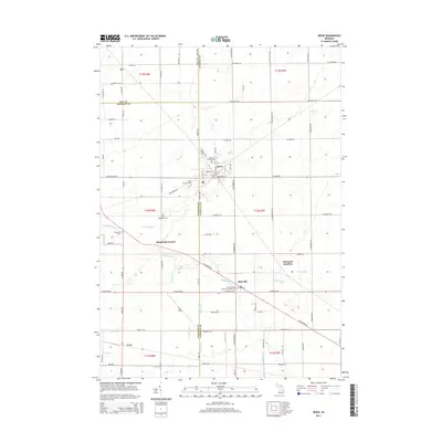
2014 Map of Reese
USGS Topo · Published 2014About this map
Reese serves as the central hub of this agricultural landscape at the tri-county corner of Bay, Saginaw, and Tuscola. The village layout is defined by a dense grid of streets including Center St and Saginaw St, with the Denmark Township Cem situated on the western edge. The surrounding rural townships are punctuated by smaller historic nodes like Blumfield Corners, Richville, and Gera, each maintaining its own distinct identity.
Find a feature on this map
90 named features on this map. Tap any name to fly to it.
Don’t see what you’re looking for? This feature index may not catch every label — zoom into the map to look around manually.
Map Details
Editions of this 2014 Reese Map
This is the sole edition of this map. No revisions or reprints were ever made.
Other maps of this area

1916 · Bay City
USGS Topo · 1:62,500

1919 · Bay City
USGS Topo · 1:62,500

1919 · Saginaw
USGS Topo · 1:62,500

1941 · Saginaw
USGS Topo · 1:62,500

1943 · Bay City
USGS Topo · 1:62,500

1943 · Saginaw
USGS Topo · 1:62,500

1954 · Flint
USGS Topo · 1:250,000

1958 · Flint
USGS Topo · 1:250,000

1963 · Quanicassee
USGS Topo · 1:24,000

1963 · Fairgrove
USGS Topo · 1:24,000