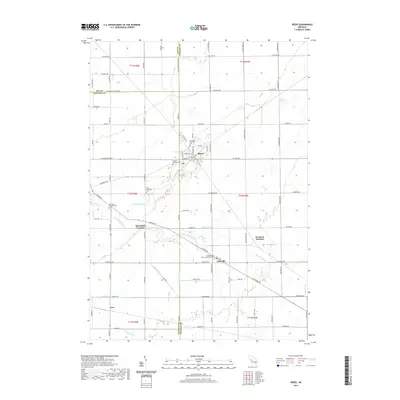
2019 Map of Reese
USGS Topo · Published 2019About this map
Reese and Richville anchor this agricultural landscape at the tri-county corner of Tuscola, Saginaw, and Bay counties. The terrain is defined by an intricate network of managed waterways including Heindel Drain, Zewerk Drain, and Bauer Drain, which feed into the Cheboyganing Cr. This systematic drainage reflects the intensive late-20th-century farming practices of the Thumb region, where every square mile is accessible via a rigid grid of rural roads. Genealogists and local historians will find significant value in the concentration of denominational landmarks, such as the Saint Michael's German Lutheran Cem and Saint Elizabeth Cem. The presence of Denmark Junction and the small hamlet of Gera illustrates the historic rail-and-road connectivity that supported these rural communities during Michigan's modern agricultural era.
Find a feature on this map
90 named features on this map. Tap any name to fly to it.
Don’t see what you’re looking for? This feature index may not catch every label — zoom into the map to look around manually.
Map Details
Editions of this 2019 Reese Map
This is the sole edition of this map. No revisions or reprints were ever made.
Other maps of this area

1916 · Bay City
USGS Topo · 1:62,500

1919 · Bay City
USGS Topo · 1:62,500

1919 · Saginaw
USGS Topo · 1:62,500

1941 · Saginaw
USGS Topo · 1:62,500

1943 · Bay City
USGS Topo · 1:62,500

1943 · Saginaw
USGS Topo · 1:62,500

1954 · Flint
USGS Topo · 1:250,000

1958 · Flint
USGS Topo · 1:250,000

1963 · Quanicassee
USGS Topo · 1:24,000

1963 · Fairgrove
USGS Topo · 1:24,000