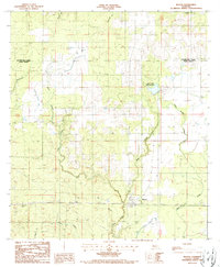
1986 Map of Reeves
USGS Topo · Published 1987About this map
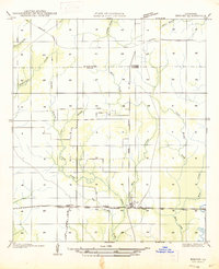
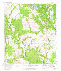
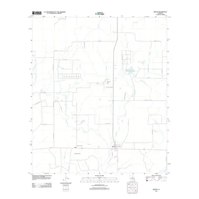
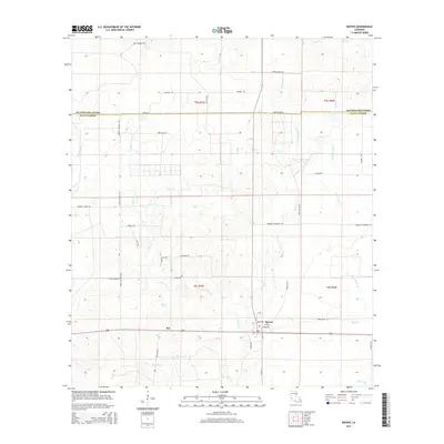
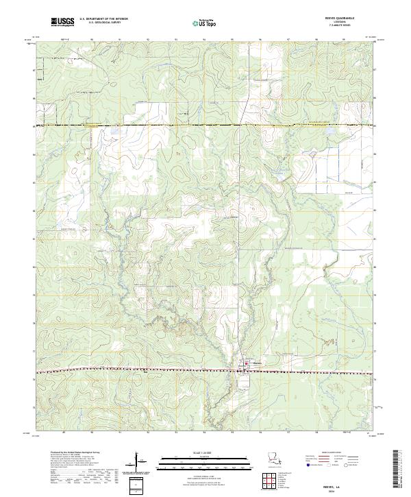
The settlement of Reeves serves as the focal point of this mid-1980s survey, situated at the boundary between Beauregard Parish and Allen Parish. The landscape is defined by an intricate network of waterways, including the winding course of Clear Creek and Mud Creek, which flow through a terrain heavily marked by firebreaks and pipeline corridors. To the west, the community of Bel is distinguished by the Bel Lookout Tower, reflecting the region's historical reliance on timber and forest management.
Find a feature on this map
17 named features on this map. Tap any name to fly to it.
Don’t see what you’re looking for? This feature index may not catch every label — zoom into the map to look around manually.
Map Details
Editions of this 1986 Reeves Map
This is the sole edition of this map. No revisions or reprints were ever made.
Historical Maps of Reeves Through Time
8 maps found