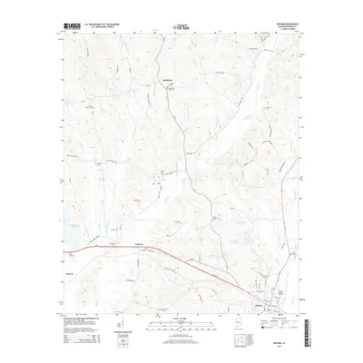
2014 Map of Reform
USGS Topo · Published 2014About this map
Reform and its surroundings in Pickens County are defined by a complex network of creeks and numerous small family or community burial grounds. This 2014 landscape shows the intersection of modern transportation at the North Pickens Airport with the long-established rural routes of the Alabama interior. In the northern reaches, the community of Bethlehem centers near the Bethlehem Church Cem and Phoenix Cem, while the central portion is dominated by the drainages of Little Coal Fire Cr and Coal Fire Cr. The settlement of Coal Fire lies along Us 82, reflecting a history where small-scale farming and local transport centered on these waterways. Several private water bodies, such as William Latham Lake and Ewart Doughty Lake, illustrate how the drainage basins of Lubbub Cr have been managed for local use over generations.
Find a feature on this map
90 named features on this map. Tap any name to fly to it.
Don’t see what you’re looking for? This feature index may not catch every label — zoom into the map to look around manually.
Map Details
Editions of this 2014 Reform Map
This is the sole edition of this map. No revisions or reprints were ever made.
Other maps of this area

1953 · Birmingham
USGS Topo · 1:250,000

1953 · West Point
USGS Topo · 1:250,000

1956 · Birmingham
USGS Topo · 1:250,000

1957 · Birmingham
USGS Topo · 1:250,000

1958 · West Point
USGS Topo · 1:250,000

1963 · West Point
USGS Topo · 1:250,000

1966 · Ethelsville
USGS Topo · 1:24,000

1966 · Reform SW
USGS Topo · 1:24,000

1967 · Carrollton
USGS Topo · 1:24,000

1967 · Kennedy
USGS Topo · 1:24,000