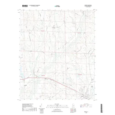
2018 Map of Reform
USGS Topo · Published 2018About this map
Reform anchors the southeastern corner of this Pickens County landscape, sitting as a junction of roads and rail at the edge of the Langdon Br drainage. The surrounding countryside is defined by an intricate network of creeks and branches, including the winding course of Coal Fire Cr and its tributaries like Bigard Tree Br and Chicken Swamp Br. Small crossroads and rural clusters such as Melrose and Coal Fire are scattered across the terrain, often identified by the numerous family and community burial grounds that dot the ridges.
Find a feature on this map
85 named features on this map. Tap any name to fly to it.
Don’t see what you’re looking for? This feature index may not catch every label — zoom into the map to look around manually.
Map Details
Editions of this 2018 Reform Map
This is the sole edition of this map. No revisions or reprints were ever made.
Other maps of this area

1953 · Birmingham
USGS Topo · 1:250,000

1953 · West Point
USGS Topo · 1:250,000

1956 · Birmingham
USGS Topo · 1:250,000

1957 · Birmingham
USGS Topo · 1:250,000

1958 · West Point
USGS Topo · 1:250,000

1963 · West Point
USGS Topo · 1:250,000

1966 · Ethelsville
USGS Topo · 1:24,000

1966 · Reform SW
USGS Topo · 1:24,000

1967 · Carrollton
USGS Topo · 1:24,000

1967 · Kennedy
USGS Topo · 1:24,000