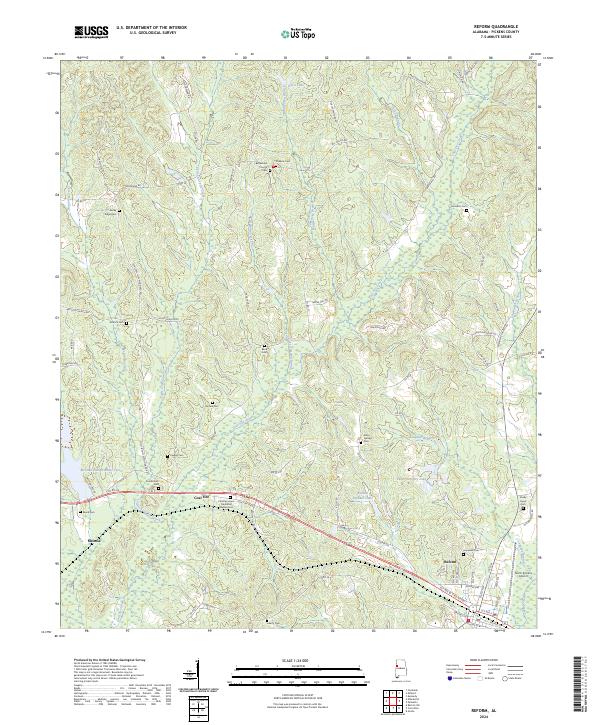
2024 Map of Reform
USGS Topo · Published 2024About this map
The settlement of Reform anchor the southeastern corner of this Pickens County landscape, where the local terrain is defined by the headwaters and tributaries of Coal Fire Creek and Lubbub Creek. This modern survey illustrates the rural character of the region, emphasizing a network of family-named roads such as Joe Lee Sanford Rd and Bill Taylor Rd that connect isolated homesteads and community centers. Historically significant sites for genealogists are numerous, including the Bethlehem Church and a dense concentration of burial grounds like Phoenix Cem and Hamilton Cem. Near the center of the sheet, the small community of Coal Fire sits near the Christian Hope Memorial Garden Cem, marking a point where agricultural land meets the wooded branches of the Chicken Swamp Branch. The presence of the North Pickens Airport near the edge of Reform reflects the intersection of traditional rural land use with regional infrastructure.
Find a feature on this map
85 named features on this map. Tap any name to fly to it.
Don’t see what you’re looking for? This feature index may not catch every label — zoom into the map to look around manually.
Map Details
Editions of this 2024 Reform Map
This is the sole edition of this map. No revisions or reprints were ever made.
Other maps of this area

1953 · Birmingham
USGS Topo · 1:250,000

1953 · West Point
USGS Topo · 1:250,000

1956 · Birmingham
USGS Topo · 1:250,000

1957 · Birmingham
USGS Topo · 1:250,000

1958 · West Point
USGS Topo · 1:250,000

1963 · West Point
USGS Topo · 1:250,000

1966 · Ethelsville
USGS Topo · 1:24,000

1966 · Reform SW
USGS Topo · 1:24,000

1967 · Carrollton
USGS Topo · 1:24,000

1967 · Kennedy
USGS Topo · 1:24,000