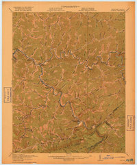
1917 Map of Regina
USGS Topo · Published 1917About this map
Pine Mountain anchors the southern landscape of this 1917 survey, defining the high-relief border between Pike County and Virginia. The Chesapeake and Ohio railroad follows the winding path of the Levisa Fork and Russell Fork, marking the industrial transport network of the Central Appalachian coalfields. This era was defined by a network of small post offices serving isolated river communities, including Shelby Shelbiara PO, Millard PO, and Praise PO.
Find a feature on this map
38 named features on this map. Tap any name to fly to it.
Don’t see what you’re looking for? This feature index may not catch every label — zoom into the map to look around manually.
Map Details
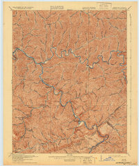
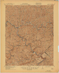
Editions of this 1917 Regina Map
3 editions found
Other maps of this area

1886 · Prestonsburg
USGS Topo · 1:125,000

1886 · Grundy
USGS Topo · 1:125,000

1887 · Warfield
USGS Topo · 1:125,000

1890 · Whitesburg
USGS Topo · 1:125,000

1890 · Grundy
USGS Topo · 1:125,000

1891 · Warfield
USGS Topo · 1:125,000

1892 · Grundy
USGS Topo · 1:125,000

1892 · Whitesburg
USGS Topo · 1:125,000

1892 · Prestonsburg
USGS Topo · 1:125,000

1909 · Matewan
USGS Topo · 1:48,000