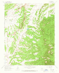
1963 Map of Regina
USGS Topo · Published 1966About this map
Regina sits at the base of the San Pedro Mountains, serving as a central hub for ranching and energy extraction in the mid-1960s. The settlement is anchored by the Regina Cem and lies just east of the Jicarilla Apache Indian Reservation Boundary. The landscape is defined by the Continental Divide, which separates the eroded terrain of the Badlands from the high, forested reaches of the San Pedro Parks Wilderness.
Find a feature on this map
32 named features on this map. Tap any name to fly to it.
Don’t see what you’re looking for? This feature index may not catch every label — zoom into the map to look around manually.
Map Details
Editions of this 1963 Regina Map
This is the sole edition of this map. No revisions or reprints were ever made.
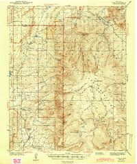
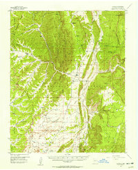
Other maps of this area

1889 · Largo
USGS Topo · 1:250,000

1895 · Largo
USGS Topo · 1:250,000

1909 · Gallina
USGS Topo · 1:125,000

1940 · Cuba
USGS Topo · 1:62,500
1943 · Cuba
USGS Topo · 1:62,500

1954 · Aztec
USGS Topo · 1:250,000
1955 · Llaves
USGS Topo · 1:62,500

1958 · Aztec
USGS Topo · 1:250,000

1962 · Aztec
USGS Topo · 1:250,000
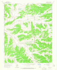
1963 · Lindrith
USGS Topo · 1:24,000