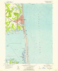
1954 Map of Rehoboth Beach
USGS Topo · Published 1956About this map
The coastal landscape of Rehoboth Beach and its surrounding inlets appears here in a mid-century survey, showcasing the growing resort communities of Dewey Beach, Henlopen Acres, and Indian Beach. Shoreline development centers around the Boardwalk, while the interior marshlands and necks—such as Wolfe Neck and Holland Neck—remain defined by intricate tidal creeks like Holland Glade and Glade Creek. The Rehoboth and Lewes Canal cuts through the northern reach, providing a vital navigable link through the wetlands.
Find a feature on this map
68 named features on this map. Tap any name to fly to it.
Don’t see what you’re looking for? This feature index may not catch every label — zoom into the map to look around manually.
Map Details
Editions of this 1954 Rehoboth Beach Map
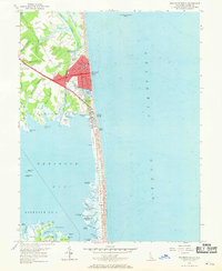
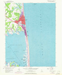
3 editions found
Other maps of this area

1888 · Cape May
USGS Topo · 1:62,500

1893 · Cape May
USGS Topo · 1:62,500

1898 · Cape May
USGS Topo · 1:62,500

1918 · Rehoboth
USGS Topo · 1:62,500

1918 · Cape Henlopen
USGS Topo · 1:62,500

1918 · Cape May
USGS Topo · 1:62,500

1925 · Cape May
USGS Topo · 1:62,500

1937 · Cape Henlopen
USGS Topo · 1:62,500

1938 · Rehoboth
USGS Topo · 1:62,500
1940 · Cape May
USGS Topo · 1:62,500