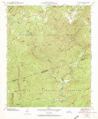
1946 Map of Reid
USGS Topo · Published 1972About this map
Pisgah National Forest and Nantahala National Forest converge in this 1946 survey of the Blue Ridge mountain country along the North Carolina and South Carolina border. The landscape is defined by the steep drainage basins of the Toxaway River, Whitewater River, and Thompson River, which create numerous dramatic water features including Toxaway Falls, Rainbow Falls, and Windy Falls. Small mountain settlements like Oakland and Reid anchor the high ground, connected by winding routes such as Bohaynee Road and Bearwallow Road.
Find a feature on this map
60 named features on this map. Tap any name to fly to it.
Don’t see what you’re looking for? This feature index may not catch every label — zoom into the map to look around manually.
Map Details
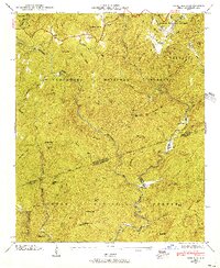
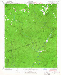
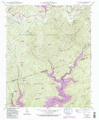
Editions of this 1946 Reid Map
4 editions found
Other maps of this area

1886 · Walhalla
USGS Topo · 1:125,000

1888 · Pickens
USGS Topo · 1:125,000

1891 · Cowee
USGS Topo · 1:125,000

1892 · Walhalla
USGS Topo · 1:125,000

1894 · Pickens
USGS Topo · 1:125,000

1896 · Walhalla
USGS Topo · 1:125,000

1897 · Cowee
USGS Topo · 1:125,000

1905 · Pisgah
USGS Topo · 1:125,000

1906 · Pisgah
USGS Topo · 1:125,000

1907 · Cowee
USGS Topo · 1:125,000