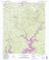
1946 Map of Reid
USGS Topo · Published 1991About this map
Lake Toxaway and the surrounding Blue Ridge wilderness define this mid-century portrait of the borderlands between North Carolina and South Carolina. Grounded in a 1946 field check by the Tennessee Valley Authority, the map illustrates a landscape of extreme relief, where the Toxaway River and Whitewater River drop through falls like Rainbow Falls and Lower Falls. The settlement at Oakland and the Oakland Cem serve as focal points for local genealogy, while the Lake Toxaway Ch stands near the northern shoreline. Deep in the interior, family and place-named landmarks such as Puncheon Camp Mtn and Misery Mtn reflect the isolation of these mountain tracts. Further south, the map documents the upper reaches of Lake Jocassee as it meets the rugged fingers of Sumter National Forest and Nantahala National Forest.
Find a feature on this map
90 named features on this map. Tap any name to fly to it.
Don’t see what you’re looking for? This feature index may not catch every label — zoom into the map to look around manually.
Map Details
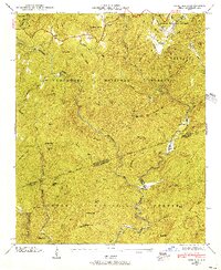
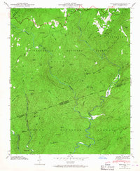
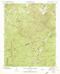
Editions of this 1946 Reid Map
4 editions found
Other maps of this area

1886 · Walhalla
USGS Topo · 1:125,000

1888 · Pickens
USGS Topo · 1:125,000

1891 · Cowee
USGS Topo · 1:125,000

1892 · Walhalla
USGS Topo · 1:125,000

1894 · Pickens
USGS Topo · 1:125,000

1896 · Walhalla
USGS Topo · 1:125,000

1897 · Cowee
USGS Topo · 1:125,000

1905 · Pisgah
USGS Topo · 1:125,000

1906 · Pisgah
USGS Topo · 1:125,000

1907 · Cowee
USGS Topo · 1:125,000