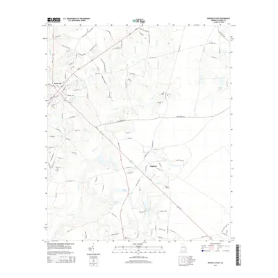
2014 Map of Reidsville East
USGS Topo · Published 2014About this map
The settlement of Reidsville serves as the focal point for this study of Tattnall County, where the transition from residential streets like Chandler Ave and Lynntown Rd to the surrounding agricultural landscape is clearly defined. The terrain is characterized by a series of small water bodies and creeks, including Thomas Cr, Battle Cr, and Jones Millpond, which dictate the drainage patterns of the region. A significant number of family and community burial sites are preserved here, such as Old Shiloh Cem, Shady Grove Cem, and Hammock Cem, offering essential data for genealogical research. Small-scale aviation is represented by the presence of Tootle Airport southeast of the main town. The road network, including Ga-121 and Us-280, connects the central community to outlying areas like Hughland, illustrating the connectivity of this Georgia interior during the early 21st century.
Find a feature on this map
110 named features on this map. Tap any name to fly to it.
Don’t see what you’re looking for? This feature index may not catch every label — zoom into the map to look around manually.
Map Details
Editions of this 2014 Reidsville East Map
This is the sole edition of this map. No revisions or reprints were ever made.
Other maps of this area

1919 · Claxton
USGS Topo · 1:62,500

1920 · Glennville
USGS Topo · 1:62,500

1944 · Claxton
USGS Topo · 1:62,500

1944 · Glennville
USGS Topo · 1:62,500

1946 · Brunswick
USGS Topo · 1:250,000

1947 · Savannah
USGS Topo · 1:250,000

1948 · Brunswick
USGS Topo · 1:250,000

1948 · Savannah
USGS Topo · 1:250,000

1950 · Glennville
USGS Topo · 1:62,500

1950 · Claxton
USGS Topo · 1:62,500