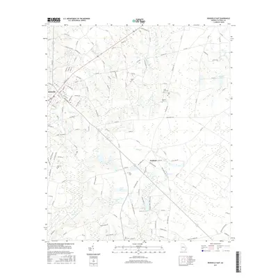
2017 Map of Reidsville East
USGS Topo · Published 2017About this map
Thomas Cr and its numerous tributaries, including Battle Cr and Chapel Cr, define the low-lying geography east of Reidsville. This 2017 survey reveals a landscape where water management is central to the rural economy, evidenced by several impoundments such as Durrence Lake, Segull Lake, and Jones Millpond. For genealogists and local historians, the sheet is an exceptional resource for locating family burial sites scattered across the countryside, including Old Shiloh Cem, Maddox Cem, and Gainwell Cem. The small settlement of Hughland sits at a rural crossroads, while the road network shows the integration of older family-named routes like John Luther Branch Rd and Edsel Coy Durrence Rd with the modern county road system. These labels preserve the names of the families who established the homesteads and farms of Tattnall County.
Find a feature on this map
131 named features on this map. Tap any name to fly to it.
Don’t see what you’re looking for? This feature index may not catch every label — zoom into the map to look around manually.
Map Details
Editions of this 2017 Reidsville East Map
This is the sole edition of this map. No revisions or reprints were ever made.
Other maps of this area

1919 · Claxton
USGS Topo · 1:62,500

1920 · Glennville
USGS Topo · 1:62,500

1944 · Claxton
USGS Topo · 1:62,500

1944 · Glennville
USGS Topo · 1:62,500

1946 · Brunswick
USGS Topo · 1:250,000

1947 · Savannah
USGS Topo · 1:250,000

1948 · Brunswick
USGS Topo · 1:250,000

1948 · Savannah
USGS Topo · 1:250,000

1950 · Glennville
USGS Topo · 1:62,500

1950 · Claxton
USGS Topo · 1:62,500