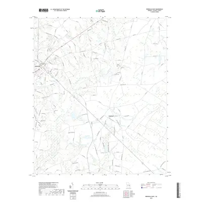
2020 Map of Reidsville East
USGS Topo · Published 2020About this map
Reidsville and the Tattnall County Judicial Annex serve as the western anchor for this landscape, which transitions quickly into a network of agricultural lands and creek bottoms. The terrain is defined by the drainage of Thomas Cr and Brazells Cr, punctuated by several private or historic impoundments including Durrence Lake, Segull Lake, and D L Lake. For those researching local lineages, the map is particularly detailed regarding small family and community burial grounds scattered throughout the rural sections.
Find a feature on this map
135 named features on this map. Tap any name to fly to it.
Don’t see what you’re looking for? This feature index may not catch every label — zoom into the map to look around manually.
Map Details
Editions of this 2020 Reidsville East Map
This is the sole edition of this map. No revisions or reprints were ever made.
Other maps of this area

1919 · Claxton
USGS Topo · 1:62,500

1920 · Glennville
USGS Topo · 1:62,500

1944 · Claxton
USGS Topo · 1:62,500

1944 · Glennville
USGS Topo · 1:62,500

1946 · Brunswick
USGS Topo · 1:250,000

1947 · Savannah
USGS Topo · 1:250,000

1948 · Brunswick
USGS Topo · 1:250,000

1948 · Savannah
USGS Topo · 1:250,000

1950 · Glennville
USGS Topo · 1:62,500

1950 · Claxton
USGS Topo · 1:62,500