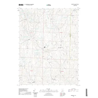
2019 Map of Reinersville
USGS Topo · Published 2019About this map
Bristol and Reinersville anchor a landscape defined by industrial water management and deep family roots in Morgan County. The terrain is marked by dozens of artificial impoundments such as Ohio Power Company Pond 9515-011, reflecting the region's energy production history and reclamation efforts. These basins are interspersed between the natural drainages of Dyes Fork and Little Olive Green Cr, which carve through the ridges toward the southern border near Hackney.
Find a feature on this map
101 named features on this map. Tap any name to fly to it.
Don’t see what you’re looking for? This feature index may not catch every label — zoom into the map to look around manually.
Map Details
Editions of this 2019 Reinersville Map
This is the sole edition of this map. No revisions or reprints were ever made.
Other maps of this area

1909 · Caldwell
USGS Topo · 1:62,500

1910 · Philo
USGS Topo · 1:62,500

1910 · Mc Connelsville
USGS Topo · 1:62,500

1911 · Cumberland
USGS Topo · 1:62,500

1912 · Caldwell
USGS Topo · 1:62,500

1949 · Clarksburg
USGS Topo · 1:250,000

1956 · Clarksburg
USGS Topo · 1:250,000

1961 · Clarksburg
USGS Topo · 1:250,000
1961 · Beverly
USGS Topo · 1:24,000

1961 · Mc Connelsville
USGS Topo · 1:24,000