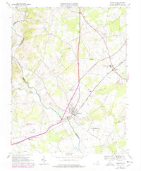
1966 Map of Remington
USGS Topo · Published 1978About this map
Remington sits at the confluence of several vital watercourses and the Southern railroad, serving as a hub for the surrounding Piedmont countryside. This 1966 survey, revised with mid-1970s aerial data, reveals a landscape defined by the winding path of the Rappahannock River which separates Culpeper and Fauquier counties. The rail line connects the smaller settlements of Bealeton and Elkwood, while local institutions like St James Ch, Cedar Run Sch, and Hollywood Cem anchor the rural community. To the south, the expansion of the Culpeper Municipal Airport T Martin Field and the U S Military Res Warrenton Training Center indicate the growing federal and regional infrastructure in the area. Waterways like Marsh Run and Lucky Hill Run drain the rolling terrain, while numerous smaller family or community burial sites like Cedar Grove Cem remain preserved among the farms.
Find a feature on this map
40 named features on this map. Tap any name to fly to it.
Don’t see what you’re looking for? This feature index may not catch every label — zoom into the map to look around manually.
Map Details
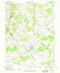
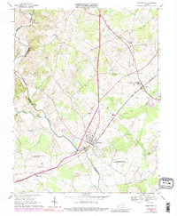
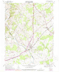
Editions of this 1966 Remington Map
4 editions found
Other maps of this area

1887 · Spottsylvania
USGS Topo · 1:125,000

1892 · Spottsylvania
USGS Topo · 1:125,000

1894 · Warrenton
USGS Topo · 1:125,000

1894 · Warrenton
USGS Topo · 1:62,500

1927 · Remington
USGS Topo · 1:48,000

1930 · Warrenton
USGS Topo · 1:62,500

1943 · Catlett
USGS Topo · 1:62,500

1943 · Germanna Bridge
USGS Topo · 1:24,000

1943 · Culpeper
USGS Topo · 1:24,000

1943 · Midland
USGS Topo · 1:24,000