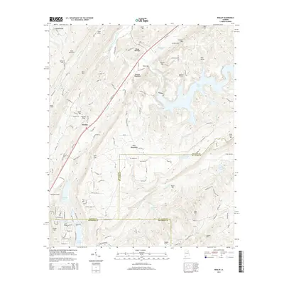
2014 Map of Remlap
USGS Topo · Published 2014About this map
Remlap and the surrounding Alabama countryside sit at the intersection of Blount, St. Clair, and Jefferson Counties, characterized by a series of parallel ridges and valleys. The Blackburn Fork Little Warrior River and the Locust Fork drain this landscape, which is defined by prominent elevations like Sand Mountain, Red Mtn, and Straight Mtn. Local infrastructure revolves around Inland Junction and the path of Old Hwy 75, providing a modern look at rural settlement patterns. Genealogy researchers can find the Clear Springs Cem near the community of Clear Springs, while the eastern portion of the map is dominated by the extensive waters of Inland Lake. Smaller water bodies such as Tekawitha Lake and Woodhaven Lake are scattered throughout the southern valleys, illustrating how water management has shaped local recreation and geography over time.
Find a feature on this map
60 named features on this map. Tap any name to fly to it.
Don’t see what you’re looking for? This feature index may not catch every label — zoom into the map to look around manually.
Map Details
Editions of this 2014 Remlap Map
This is the sole edition of this map. No revisions or reprints were ever made.
Other maps of this area

1889 · Springville
USGS Topo · 1:125,000

1889 · Birmingham
USGS Topo · 1:125,000

1892 · Birmingham
USGS Topo · 1:125,000

1892 · Springville
USGS Topo · 1:125,000

1895 · Birmingham
USGS Topo · 1:125,000

1905 · Leeds
USGS Topo · 1:62,500

1907 · Birmingham
USGS Topo · 1:125,000

1907 · Leeds
USGS Topo · 1:62,500

1953 · Birmingham
USGS Topo · 1:250,000

1956 · Birmingham
USGS Topo · 1:250,000