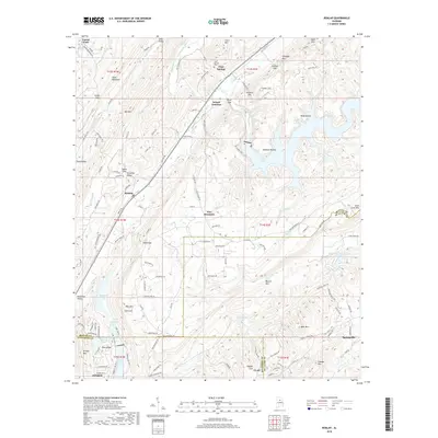
2018 Map of Remlap
USGS Topo · Published 2018About this map
Blount Mtn and Pine Mountain dominate the geography of this area on the borders of Blount, St. Clair, and Jefferson counties. The settlement of Remlap sits along the western slopes, while the southern portion transition towards Clay and Clayton Cove. The drainage patterns here are defined by the Locust Fork and the Blackburn Fork of the Little Warrior River, which carve through the ridges near Sand Mountain and Straight Mtn.
Find a feature on this map
136 named features on this map. Tap any name to fly to it.
Don’t see what you’re looking for? This feature index may not catch every label — zoom into the map to look around manually.
Map Details
Editions of this 2018 Remlap Map
This is the sole edition of this map. No revisions or reprints were ever made.
Other maps of this area

1889 · Springville
USGS Topo · 1:125,000

1889 · Birmingham
USGS Topo · 1:125,000

1892 · Birmingham
USGS Topo · 1:125,000

1892 · Springville
USGS Topo · 1:125,000

1895 · Birmingham
USGS Topo · 1:125,000

1905 · Leeds
USGS Topo · 1:62,500

1907 · Birmingham
USGS Topo · 1:125,000

1907 · Leeds
USGS Topo · 1:62,500

1953 · Birmingham
USGS Topo · 1:250,000

1956 · Birmingham
USGS Topo · 1:250,000