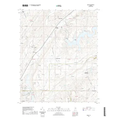
2020 Map of Remlap
USGS Topo · Published 2020About this map
Murphree Valley serves as a central corridor for this North Alabama landscape, where the ridges of Sand Mountain and Straight Mtn frame a complex network of waterways and settlements. The Inland Lake reservoir dominates the eastern half, creating a jagged shoreline of hollows like Wald Hollow and Nedham Hollow. This 2020 update shows the modern residential character of the region, from the developed community of Springville Lake Estates to the elevated neighborhood of Sand Ridge overlooking Woodhaven Lake. Local history remains anchored at Clear Springs, where the Clear Springs Cem sits near the headwaters of Valley Cr. The topographical relief is marked by numerous gaps, including River Gap and Posey Gap, which have historically dictated the passage of roads like Old State Rd 75 and the development of rail-related sites such as Inland Junction.
Find a feature on this map
141 named features on this map. Tap any name to fly to it.
Don’t see what you’re looking for? This feature index may not catch every label — zoom into the map to look around manually.
Map Details
Editions of this 2020 Remlap Map
This is the sole edition of this map. No revisions or reprints were ever made.
Other maps of this area

1889 · Springville
USGS Topo · 1:125,000

1889 · Birmingham
USGS Topo · 1:125,000

1892 · Birmingham
USGS Topo · 1:125,000

1892 · Springville
USGS Topo · 1:125,000

1895 · Birmingham
USGS Topo · 1:125,000

1905 · Leeds
USGS Topo · 1:62,500

1907 · Birmingham
USGS Topo · 1:125,000

1907 · Leeds
USGS Topo · 1:62,500

1953 · Birmingham
USGS Topo · 1:250,000

1956 · Birmingham
USGS Topo · 1:250,000