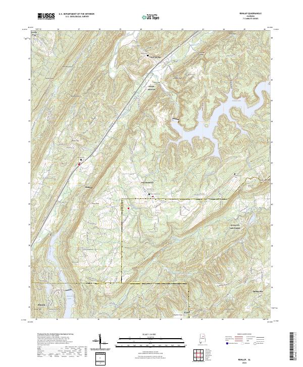
2024 Map of Remlap
USGS Topo · Published 2024About this map
Remlap and Inland Junction sit at the intersection of complex ridge-and-valley topography where Blount, St. Clair, and Jefferson counties meet. The landscape is defined by parallel northeast-southwest trending ridges, including Straight Mountain, Sand Mountain, and Blount Mountain, which are cut by strategic passages such as River Gap and Tucker Gap. These natural corridors have historically dictated the paths of transit and water, with the Blackburn Fork Little Warrior River and Locust Fork draining the northern reaches while Inland Lake provides a significant water feature to the east.
Find a feature on this map
144 named features on this map. Tap any name to fly to it.
Don’t see what you’re looking for? This feature index may not catch every label — zoom into the map to look around manually.
Map Details
Editions of this 2024 Remlap Map
This is the sole edition of this map. No revisions or reprints were ever made.
Other maps of this area

1889 · Springville
USGS Topo · 1:125,000

1889 · Birmingham
USGS Topo · 1:125,000

1892 · Birmingham
USGS Topo · 1:125,000

1892 · Springville
USGS Topo · 1:125,000

1895 · Birmingham
USGS Topo · 1:125,000

1905 · Leeds
USGS Topo · 1:62,500

1907 · Birmingham
USGS Topo · 1:125,000

1907 · Leeds
USGS Topo · 1:62,500

1953 · Birmingham
USGS Topo · 1:250,000

1956 · Birmingham
USGS Topo · 1:250,000