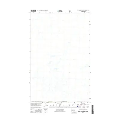
2014 Map of Remmel Mountain OE N
USGS Topo · Published 2014About this map
The international border between the Canada / United States of America defines the northern edge of this remote high-country terrain. Situated within Okanogan Co, Washington, the landscape is characterized by a dense network of mountain drainage systems and seasonal streams that flow south from the border. This 2014 survey captures a section of the northern Cascades where human infrastructure is limited to primitive forest roads and 4WD tracks, emphasizing the area's role as a protected wilderness corridor. The lack of named settlements or structures highlights the primary use of this land for timber management and backcountry recreation under the oversight of the U.S. Forest Service.
Find a feature on this map
3 named features on this map. Tap any name to fly to it.
Don’t see what you’re looking for? This feature index may not catch every label — zoom into the map to look around manually.
Map Details
Editions of this 2014 Remmel Mountain OE N Map
This is the sole edition of this map. No revisions or reprints were ever made.
Other maps of this area

1955 · Concrete
USGS Topo · 1:250,000

1958 · Concrete
USGS Topo · 1:250,000

1962 · Concrete
USGS Topo · 1:250,000

1969 · Remmel Mtn.
USGS Topo · 1:24,000

1969 · Ashnola Pass
USGS Topo · 1:24,000
1969 · Bauerman Ridge
USGS Topo · 1:24,000
2001 · Bauerman Ridge
USGS Topo · 1:24,000
2002 · Ashnola Pass
USGS Topo · 1:24,000
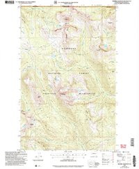
2002 · Remmel Mountain
USGS Topo · 1:24,000
2011 · Ashnola Pass
USGS Topo · 1:24,000