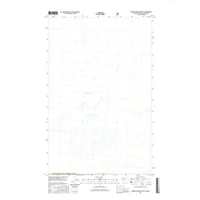
2017 Map of Remmel Mountain OE N
USGS Topo · Published 2017About this map
The United States of America/Canada international boundary defines the lower portion of this landscape, marking the northernmost edge of the Washington Cascades at the British Columbia border. This high-altitude drainage basin is characterized by a complex network of seasonal and perennial streams that form the headwaters of the regional watershed. The topography is dominated by steep-walled valleys and elevated basins, shown with high-resolution contour data from the turn of the 21st century. As a remote wilderness area under the jurisdiction of several federal agencies including the U.S. Forest Service and Bureau of Land Management, the map depicts a landscape largely devoid of human structures, focusing instead on the intricate hydrography and natural wetlands that populate the high ridges and valley floors.
Find a feature on this map
1 named feature on this map. Tap any name to fly to it.
Don’t see what you’re looking for? This feature index may not catch every label — zoom into the map to look around manually.
Map Details
Editions of this 2017 Remmel Mountain OE N Map
This is the sole edition of this map. No revisions or reprints were ever made.
Other maps of this area

1955 · Concrete
USGS Topo · 1:250,000

1958 · Concrete
USGS Topo · 1:250,000

1962 · Concrete
USGS Topo · 1:250,000

1969 · Remmel Mtn.
USGS Topo · 1:24,000

1969 · Ashnola Pass
USGS Topo · 1:24,000
1969 · Bauerman Ridge
USGS Topo · 1:24,000
2001 · Bauerman Ridge
USGS Topo · 1:24,000
2002 · Ashnola Pass
USGS Topo · 1:24,000
2002 · Remmel Mountain
USGS Topo · 1:24,000
2011 · Ashnola Pass
USGS Topo · 1:24,000