
1915 Map of Renault
USGS Topo · Published 1915About this map
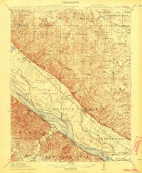
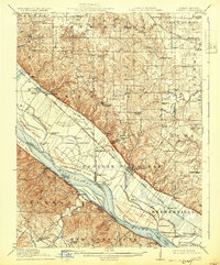
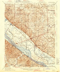
Prairie du Rocher and the low-lying bottomlands of the Mississippi River anchor this 1915 survey of the Illinois and Missouri borderlands. The landscape is defined by the sharp transition from the fertile American Bottom, protected by the river bluffs, to the rolling uplands of New Design and Prairie du Long. Numerous family-named schools like Lohrberg School and Yankeetown School reflect the dispersed agricultural community of the era, while the Ruma Convent stands as a prominent landmark on the Randolph County bluffs.
Find a feature on this map
79 named features on this map. Tap any name to fly to it.
Don’t see what you’re looking for? This feature index may not catch every label — zoom into the map to look around manually.
Map Details
Editions of this 1915 Renault Map
4 editions found
Other maps of this area

1904 · Farmington
USGS Topo · 1:62,500

1906 · Farmington
USGS Topo · 1:62,500

1907 · Weingarten
USGS Topo · 1:62,500

1909 · Weingarten
USGS Topo · 1:62,500

1910 · Waterloo
USGS Topo · 1:62,500

1912 · New Athens
USGS Topo · 1:62,500

1912 · Kimmswick
USGS Topo · 1:62,500

1912 · Baldwin
USGS Topo · 1:62,500

1913 · Waterloo
USGS Topo · 1:62,500

1914 · Baldwin
USGS Topo · 1:62,500