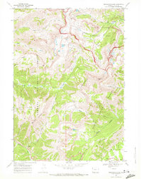
1968 Map of Rendezvous Peak
USGS Topo · Published 1972About this map
Grand Teton National Park and the adjacent Targhee National Forest meet in this high-altitude survey, documenting the intricate network of pack trails and watercourses that define the Teton Range. The landscape is marked by prominent summits like Rendezvous Peak and Glory Mountain, while the southern edge touches upon the early development of the village of Wilson. The mapping reveals a transition from the protected wilderness of the national park into the managed forest lands, where features such as the Patrol Cabin and Coal Creek Campground provide rare points of human infrastructure.
Find a feature on this map
46 named features on this map. Tap any name to fly to it.
Don’t see what you’re looking for? This feature index may not catch every label — zoom into the map to look around manually.
Map Details
Editions of this 1968 Rendezvous Peak Map
2 editions found
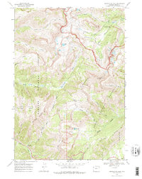
Other maps of this area

1899 · Grand Teton
USGS Topo · 1:125,000

1901 · Grand Teton
USGS Topo · 1:125,000

1931 · Jackson
USGS Topo · 1:125,000

1932 · Irwin
USGS Topo · 1:96,000

1935 · Irwin
USGS Topo · 1:125,000

1935 · Jackson
USGS Topo · 1:125,000

1943 · Driggs
USGS Topo · 1:62,500

1946 · Driggs
USGS Topo · 1:62,500

1955 · Driggs
USGS Topo · 1:250,000

1958 · Driggs
USGS Topo · 1:250,000