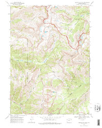
1968 Map of Rendezvous Peak
USGS Topo · Published 1974About this map
Grand Teton National Park and Targhee National Forest converge on this 1968 survey, marking the intersection of the Teton Range's drainage systems. The landscape is defined by the high-altitude divide between the North Fork Granite Creek and the headwaters of North Fork Teton Creek, with the Teton Crest Trail winding along the ridge past Marion Lake. This era shows a wilderness largely accessible only by foot or pack animal, documented just before significant modernization of regional recreation infrastructure.
Find a feature on this map
36 named features on this map. Tap any name to fly to it.
Don’t see what you’re looking for? This feature index may not catch every label — zoom into the map to look around manually.
Map Details
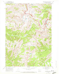
Editions of this 1968 Rendezvous Peak Map
2 editions found
Other maps of this area

1899 · Grand Teton
USGS Topo · 1:125,000

1901 · Grand Teton
USGS Topo · 1:125,000

1931 · Jackson
USGS Topo · 1:125,000

1932 · Irwin
USGS Topo · 1:96,000

1935 · Irwin
USGS Topo · 1:125,000

1935 · Jackson
USGS Topo · 1:125,000

1943 · Driggs
USGS Topo · 1:62,500

1946 · Driggs
USGS Topo · 1:62,500

1955 · Driggs
USGS Topo · 1:250,000

1958 · Driggs
USGS Topo · 1:250,000