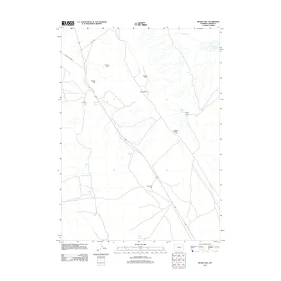
2012 Map of Rendle Hill
USGS Topo · Published 2012About this map
Olsen Ranch serves as a lone hub of settlement in this high-plains landscape of Carbon County, where water is the primary architect of the geography. Numerous isolated water sources, including Bell Springs, Chicken Spring, and Ninemile Springs, punctuate the dry terrain and likely served as vital landmarks for early ranchers and travelers. The physical layout of the land is defined by prominent elevations such as Rendle Hill and Willow Hill, alongside the dramatic recession of the Brown Canyon Rim. Infrastructure is sparse, dominated by the highway corridor and secondary routes like Willow Rd and the descriptive Oil Road to Mines Rd, which highlights the region's industrial connection to local resource extraction. To the northeast, the presence of Separation Lake and the winding Separation Cr add a hydrologic complexity to an otherwise arid, ridge-dominated environment.
Find a feature on this map
19 named features on this map. Tap any name to fly to it.
Don’t see what you’re looking for? This feature index may not catch every label — zoom into the map to look around manually.
Map Details
Editions of this 2012 Rendle Hill Map
This is the sole edition of this map. No revisions or reprints were ever made.
Other maps of this area

1953 · Riddle Cut
USGS Topo · 1:24,000

1953 · Rawlins
USGS Topo · 1:24,000

1953 · Rawlins NW
USGS Topo · 1:24,000

1954 · Rawlins
USGS Topo · 1:250,000

1955 · Casper
USGS Topo · 1:250,000

1956 · Rawlins Peak
USGS Topo · 1:62,500

1958 · Rawlins
USGS Topo · 1:250,000

1958 · Casper
USGS Topo · 1:250,000

1960 · Separation Rim
USGS Topo · 1:24,000

1960 · Boggy Meadows
USGS Topo · 1:24,000