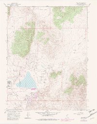
1967 Map of Reno NE
USGS Topo · Published 1983About this map
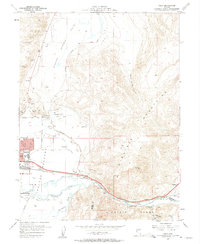
Hungry Valley and Antelope Valley anchor this 1967 survey of the northern reaches of the Truckee Meadows, capturing a pivotal moment of suburban and industrial expansion in Washoe County. The map documents the layout of the Reno-Stead Airport and its relationship to the surrounding residential corridors, including the established grid of Lemmon Valley Sch Drive and various street systems named for states like Alaska St and Montana St. This era shows a landscape in transition, where the Reno Military presence and industrial sites like Sandpits and prospects sit adjacent to growing neighborhoods and educational facilities like the Lemmon Valley Sch. High-elevation landmarks such as Hungry Mountain and Freds Mountain provide a stark contrast to the rapidly developing valley floor, where purple revisions indicate the further sprawl of Reno during the early 1980s update.
Find a feature on this map
36 named features on this map. Tap any name to fly to it.
Don’t see what you’re looking for? This feature index may not catch every label — zoom into the map to look around manually.
Map Details
Editions of this 1967 Reno NE Map
4 editions found
Other maps of this area

1891 · Reno
USGS Topo · 1:125,000

1893 · Reno
USGS Topo · 1:125,000

1950 · Reno
USGS Topo · 1:62,500

1951 · Reno
USGS Topo · 1:62,500

1957 · Sutcliffe
USGS Topo · 1:62,500
1957 · Vista
USGS Topo · 1:24,000

1957 · Dogskin Mountain
USGS Topo · 1:62,500

1957 · Spanish Springs Valley
USGS Topo · 1:62,500

1957 · Reno
USGS Topo · 1:250,000

1959 · Reno
USGS Topo · 1:250,000