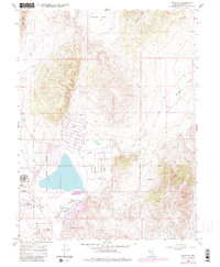
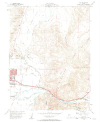
1967 Map of Reno NE
USGS Topo · Published 1983About this map
Lemmon Valley serves as the focal point of this Nevada landscape, transitioning from the high peaks of Freds Mountain and Hungry Mountain into a growing residential and industrial corridor. The residential grid is well-defined by streets such as Alaska St, Arkansas St, and Patrician Drive, reflecting the mid-century expansion of Reno toward the north. This growth is anchored by the Reno-Stead Airport, a significant regional landmark that occupies a substantial portion of the western valley floor.
Find a feature on this map
39 named features on this map. Tap any name to fly to it.
Don’t see what you’re looking for? This feature index may not catch every label — zoom into the map to look around manually.
Map Details
Editions of this 1967 Reno NE Map
4 editions found
Other maps of this area

1891 · Reno
USGS Topo · 1:125,000

1893 · Reno
USGS Topo · 1:125,000

1950 · Reno
USGS Topo · 1:62,500

1951 · Reno
USGS Topo · 1:62,500

1957 · Sutcliffe
USGS Topo · 1:62,500
1957 · Vista
USGS Topo · 1:24,000

1957 · Dogskin Mountain
USGS Topo · 1:62,500

1957 · Spanish Springs Valley
USGS Topo · 1:62,500

1957 · Reno
USGS Topo · 1:250,000

1959 · Reno
USGS Topo · 1:250,000