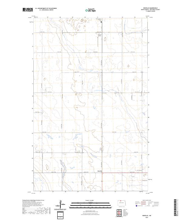
2024 Map of Renville
USGS Topo · Published 2024About this map
Renville anchors the southern portion of this North Dakota landscape, situated at the intersection of 93rd St NW and 27th Ave NW. This survey documents a prairie region defined by its rigid section-line road grid and the persistent influence of the energy industry, evidenced by infrastructure like Oil Field Rd and Oil Well Rd in the southeastern quadrant.
Find a feature on this map
24 named features on this map. Tap any name to fly to it.
Don’t see what you’re looking for? This feature index may not catch every label — zoom into the map to look around manually.
Map Details
Editions of this 2024 Renville Map
This is the sole edition of this map. No revisions or reprints were ever made.
Other maps of this area
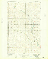
1948 · Dokken SW
USGS Topo · 1:24,000
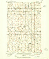
1948 · Lansford
USGS Topo · 1:62,500
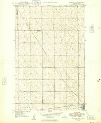
1949 · Lansford NW
USGS Topo · 1:24,000
1949 · Lansford NE
USGS Topo · 1:24,000
1949 · Maxbass
USGS Topo · 1:24,000
1949 · Westhope SW
USGS Topo · 1:24,000
1950 · Lansford
USGS Topo · 1:62,500
1950 · Westhope SW
USGS Topo · 1:24,000
1950 · Antler NW
USGS Topo · 1:24,000
1950 · Antler
USGS Topo · 1:24,000