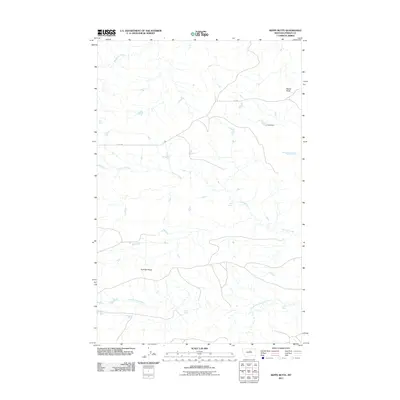
2011 Map of Reppe Butte
USGS Topo · Published 2011About this map
Reppe Butte rises as a prominent landmark in this Fergus County landscape, where the terrain is defined by a network of drainage systems and isolated water sources. The map reveals a high-plains environment focused on cattle ranching and land management, with features like the Hess Dam and various springs including Hart Spring, Bow Spring, and Linder Spring providing critical water in an arid region. The geography is carved by Two Calf Creek and its tributary, the South Fork Two Calf Creek, as well as Woodhawk Creek to the north.
Find a feature on this map
13 named features on this map. Tap any name to fly to it.
Don’t see what you’re looking for? This feature index may not catch every label — zoom into the map to look around manually.
Map Details
Editions of this 2011 Reppe Butte Map
This is the sole edition of this map. No revisions or reprints were ever made.
Other maps of this area

1943 · Landusky
USGS Topo · 1:125,000

1954 · Bird Rapids
USGS Topo · 1:24,000

1954 · Cow Island
USGS Topo · 1:24,000

1954 · Baker Monument
USGS Topo · 1:24,000

1954 · Sturgeon Island
USGS Topo · 1:24,000

1954 · Lewistown
USGS Topo · 1:250,000

1959 · Lewistown
USGS Topo · 1:250,000

1984 · Zortman
USGS Topo · 1:100,000

1985 · Thompson Coulee
USGS Topo · 1:24,000

1985 · Woodhawk Hill
USGS Topo · 1:24,000