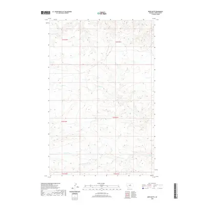
2020 Map of Reppe Butte
USGS Topo · Published 2020About this map
The northern breaks of Two Calf Cr define this Fergus County landscape, where deep drainages and isolated water sources dominate the terrain. A network of named springs, including Hart Spring, Bow Spring, Linder Spring, and Lewis Spring, provides vital points of reference in an area otherwise characterized by its intricate system of coulees and creek beds. The drainage pattern is led by the Two Calf Cr and its southern branch, S Fork Two Calf Cr, which intersect the central and lower portions of the map.
Find a feature on this map
14 named features on this map. Tap any name to fly to it.
Don’t see what you’re looking for? This feature index may not catch every label — zoom into the map to look around manually.
Map Details
Editions of this 2020 Reppe Butte Map
This is the sole edition of this map. No revisions or reprints were ever made.
Other maps of this area

1943 · Landusky
USGS Topo · 1:125,000

1954 · Bird Rapids
USGS Topo · 1:24,000

1954 · Cow Island
USGS Topo · 1:24,000

1954 · Baker Monument
USGS Topo · 1:24,000

1954 · Sturgeon Island
USGS Topo · 1:24,000

1954 · Lewistown
USGS Topo · 1:250,000

1959 · Lewistown
USGS Topo · 1:250,000

1984 · Zortman
USGS Topo · 1:100,000

1985 · Thompson Coulee
USGS Topo · 1:24,000

1985 · Woodhawk Hill
USGS Topo · 1:24,000