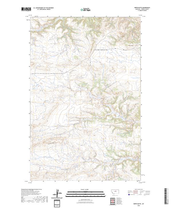
2024 Map of Reppe Butte
USGS Topo · Published 2024About this map
The Upper Missouri River Breaks National Monument dominates the northern reaches of this Fergus County landscape, where the terrain transitions from the high prominence of Reppe Butte into a complex system of drainages. The hydrology of the region is defined by the winding paths of Two Calf Creek and its tributary, South Fork Two Calf Creek, alongside seasonal water sources such as Bow Spring, Linder Spring, and Lewis Spring. These water points were historically vital for livestock management in this part of Montana, a legacy reflected in names like Lambing Camp Creek. The area is further characterized by the long elevation of Sullivan Ridge, which serves as a natural divide between the creek beds and the broken country leading toward the Missouri River. This map provides a detailed view of the Public Land Survey System grid, including boundaries for t23n r21e and surrounding townships, which remains fundamental for modern land ownership and historical research.
Find a feature on this map
16 named features on this map. Tap any name to fly to it.
Don’t see what you’re looking for? This feature index may not catch every label — zoom into the map to look around manually.
Map Details
Editions of this 2024 Reppe Butte Map
This is the sole edition of this map. No revisions or reprints were ever made.
Other maps of this area

1943 · Landusky
USGS Topo · 1:125,000

1954 · Bird Rapids
USGS Topo · 1:24,000

1954 · Cow Island
USGS Topo · 1:24,000

1954 · Baker Monument
USGS Topo · 1:24,000

1954 · Sturgeon Island
USGS Topo · 1:24,000

1954 · Lewistown
USGS Topo · 1:250,000

1959 · Lewistown
USGS Topo · 1:250,000

1984 · Zortman
USGS Topo · 1:100,000

1985 · Thompson Coulee
USGS Topo · 1:24,000

1985 · Woodhawk Hill
USGS Topo · 1:24,000