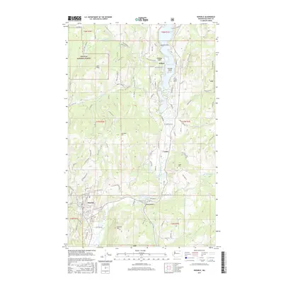
2017 Map of Republic
USGS Topo · Published 2017About this map
The Republic townsite serves as the hub of this northern Washington landscape, situated along the upper reaches of the Sanpoil River valley. To the north, Curlew Lake dominates the drainage basin, surrounded by a network of local roads such as W Curlew Lake Rd and Blacks Beach Rd. This area reflects a long-standing balance between settlement and natural resource management, with substantial portions of the western terrain managed as part of the Colville National Forest.
Find a feature on this map
94 named features on this map. Tap any name to fly to it.
Don’t see what you’re looking for? This feature index may not catch every label — zoom into the map to look around manually.
Map Details
Editions of this 2017 Republic Map
This is the sole edition of this map. No revisions or reprints were ever made.
Other maps of this area

1904 · Republic
USGS Topo · 1:125,000

1948 · Curlew
USGS Topo · 1:62,500

1948 · Republic
USGS Topo · 1:62,500

1951 · Wauconda
USGS Topo · 1:62,500

1951 · Curlew
USGS Topo · 1:62,500

1951 · Bodie Mountain
USGS Topo · 1:62,500

1951 · Republic
USGS Topo · 1:62,500

1954 · Okanogan
USGS Topo · 1:250,000

1958 · Okanogan
USGS Topo · 1:250,000

1958 · Aeneas
USGS Topo · 1:62,500