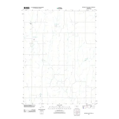
2011 Map of Republican City NW
USGS Topo · Published 2011About this map
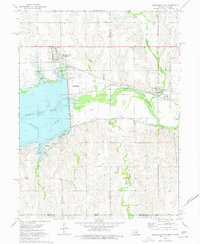
Turkey Creek and Eureka Creek wind through this rural section of Harlan County, defining a landscape shaped by agricultural water management. The terrain is marked by several small-scale water projects, including Harms Reservoir and Ziegler Reservoir, which reflect the region's reliance on irrigation and livestock watering. These features, along with structures like the Gladman-Miller Dam and Ott Dam, show the local modification of natural drainages to support prairie farming. For those researching family history or local land use, Zion Cemetery stands as a permanent landmark near the creek beds, while a grid of rural routes such as 714 RD and Union RD provide the structural framework for this quiet agricultural community north of the Republican River valley.
Find a feature on this map
17 named features on this map. Tap any name to fly to it.
Don’t see what you’re looking for? This feature index may not catch every label — zoom into the map to look around manually.
Map Details
Editions of this 2011 Republican City NW Map
This is the sole edition of this map. No revisions or reprints were ever made.
Other maps of this area

1896 · Holdrege
USGS Topo · 1:125,000

1955 · Grand Island
USGS Topo · 1:250,000

1957 · Grand Island
USGS Topo · 1:250,000

1958 · Grand Island
USGS Topo · 1:250,000

1970 · Wilcox
USGS Topo · 1:24,000

1970 · Ragan
USGS Topo · 1:24,000
1970 · Hildreth
USGS Topo · 1:24,000
1973 · Republican City NE
USGS Topo · 1:24,000
1973 · Bloomington
USGS Topo · 1:24,000
1974 · Republican City
USGS Topo · 1:24,000